
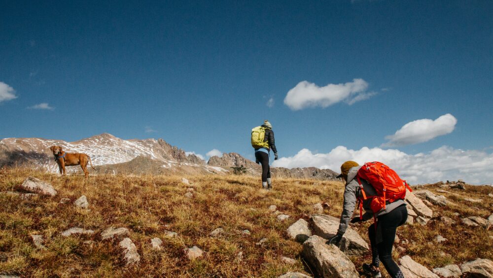
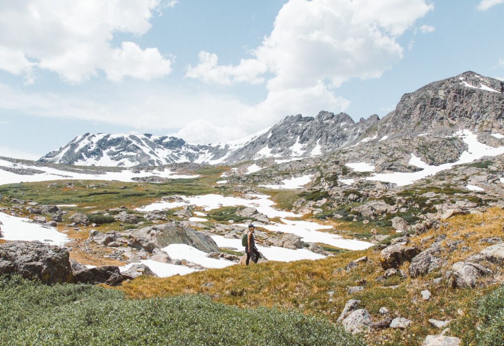
The landscape of Colorado is calling for everyone to come hiking. The stunning mountains, waterfalls, and red rocks make for a unique experience, no matter your skill level. Undoubtedly, one of the best ways to start your exploration of Colorado is by checking out the hikes near Colorado Springs.
Nestled in the foothills of the mountains, Colorado Springs gives quick and easy access to some of the most diverse trails in the state. Remember that some hikes in the area may require a permit. For ease of use, we selected trails that match those in beauty, but there are no permits required for hikes.
Best hikes near Colorado Springs
Muscoco
Location: Mount Cutler/Mt. Muscoco Trailhead
Elevation Gain: 1,292 feet
Round Trip Mileage: 4.0 miles
Difficulty: Moderate
Views of the mountains sweep out to your right, and Colorado Springs lays the backdrop to your left as you head up to the summit of Mount Muscoco. This moderate trail is located just southwest of Colorado Springs in the North Cheyenne Cañon Park. It’s a quick drive out to a hike that is well worth the final climb.
The Mount Muscoco trail is well-known for the wildflowers that it boasts in the springtime, making it a great trail to do as the snow starts to melt.
The Mount Cutler trail takes you to the trail that you are truly looking for. About a mile down the Mount Cutler trail is the Mount Muscoco trail. This trail will take you straight to the summit, but beware, the final climb is where all of the difficulty lies in this trail.
For this hike, in particular, quality hiking boots are highly recommended. The final climb is rocky, and sneakers aren’t suitable to give your feet the support they will need.
The Crags Trail
Location: Near Divide, CO
Elevation Gain: 820 feet
Round Trip Mileage: 4.8 miles
Difficulty: Easy to Moderate
We suggest checking out the Crags Trail for a great introduction to the area. Not only does it display some of the best landscapes of the area, but it also won’t push you too hard and make you not want to hike again. The trail is long enough to make it a workout and is relatively flat, with a total elevation gain of about 820 feet.
The Crags Trail gives you a view of some of the most unique geological features in all of Colorado. Granite slabs erupt from the ground in large numbers, forming massive cliff sides and sheer-faced walls. The trail also takes you through some huge aspen forests that allow you to see another part of Colorado’s brilliant landscape. Head out on this trail in the fall and be prepared to have your world blanketed in gold by these magnificent trees.
Another reason why this trail is perfect for beginners is the ease of use. It’s well-marked, as trail number 664, and well-maintained. The forest service has recently constructed new parking, so you don’t need to rush there at 6 in the morning to get a spot.
If you’re a beginner wanting to start exploring these areas, ensure that you are prepared. Read up on Colorado hiking safety and know before you go.
Garden of the Gods – The Palmer, Buckskin-Charley, Niobrara, and Bretag Trail Loop
Location: Garden of the Gods Park
Elevation Gain: 449 feet
Round Trip Mileage: 4.0 miles
Difficulty: Easy
When avid hikers think about Colorado Springs, one of the first places that come to mind is Garden of the Gods. This National Natural Landmark is well-known for the sandstone towers that color the sky with their vibrant reds. Come here once, and you’ll be itching to come back and try the climbing, horseback riding, or mountain biking that the park has to offer.
This trail, in particular, is a phenomenal introduction to the park. It combines four popular trails to make an easy four-mile loop, providing a taste of everything in the park. The route starts on the Palmer Trail and takes twists and turns through the most well-known towers in the park.
Columbine Trail
Location: North Cheyenne Cañon Park
Elevation Gain: 1,607 feet
Round Trip Mileage: 7.6 miles
Difficulty: Moderate to Difficult
Now, here’s another trail to add to your list of Fall hiking in Colorado Springs. North Cheyenne Cañon is surrounded by mountains (some of which have also made this list) and provides an array of different views and landscapes to please everyone that tags along.
The Columbine Trail has three different options for where to start. One of the best places to start, in our opinion, is the Starsmore Discovery Center. This center has a wealth of knowledge about the local flora and fauna, making it a great start or end to your hike.
No matter what you are looking for, you can find it on the Columbine Trail. There are babbling brooks, warbling birds, and huge mountain vistas. While the trail is on the longer side, the elevation gains are evenly spread out, so you will barely notice it.
Buckhorn
Location: North Cheyenne Cañon Park
Elevation Gain: 859 feet
Round Trip Mileage: 3.9 miles
Difficulty: Moderate
Another hike in North Cheyenne Cañon Park makes the list, showing off what this one place truly has to offer. If you’re trying to figure out where to hike in Colorado Springs, this park is a great place to start.
Mount Buckhorn Peak is a quick hike up to a beautiful 8,380-foot summit that gives you a full 360-degree view of the world around you. The hike itself takes you through a forested setting that is a must-see in the fall. Once you are at the top, you can turn this trail into a quick out-and-back or continue down Buckhorn trail and return to where you started.
The summit itself is somewhere you could spend an entire day. Once you are up there, you can scramble around on the huge number of boulders trying to find the highest one. This is an excellent hike if you want to take time to explore.